Skip To Content

Home

1 WEEK RENTAL OF A FARO S350 ONLY $2,400!


Ask Us About Our Promo Code Discounts! Save $500!


JULY SPECIAL! 1 WEEK RENTAL OF A FARO S150 ONLY $2,000!

Hesai XT32 has a
270 Degree Field of View = Fewer Total Passes Required to Collect Data 

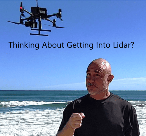
PURCHASE or RENT NEW DRONE LIDAR UNITS!

RELIABLE – AFFORDABLE – EASY TO USE  -ACCURATE

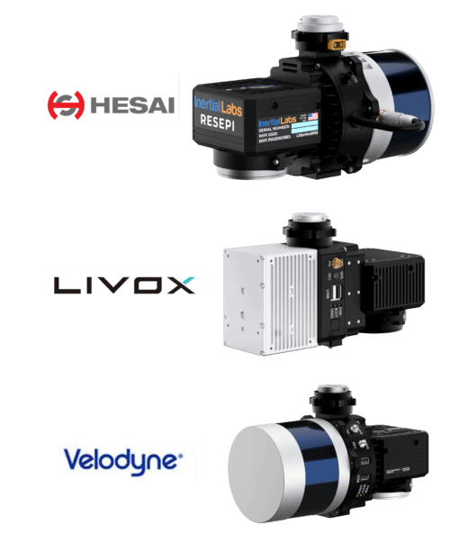
In Stock Now for Rent to Purchase!   Hesai XT32 & Livox Avia RESEPI Drone Lidar Units from Inertial Labs!

Rent a Hesai XT32 Lidar for $450/day,  $2,500/week or SPECIAL PRICE!  Purchase for Only $23,500!


Test its ease of use, accuracy, and work flow.

If the Hesai, Livox or Velodyne Lidar Unit is the best equipment for your needs, ALSS will simply take the Rental Fee and apply it to the purchase price of a new lidar kit from Inertial Labs! 

Use the Equipment Before Committing to a Purchase! Ask Us How!


3D EQUIPMENT RENTALS BELOW

Atlantic Laser Scanning Services offers a comprehensive range of RESEPI Lidar products from Inertial Labs, Static Terrestrial Scanners from FARO Technology (BIM Scanners), as well as Metrology Handyscanners from Creaform Inc. The models we offer include:

Faro S150 scanner

Faro S150 scanner

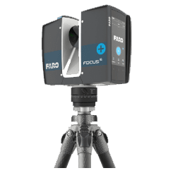
FARO Focus S150 Kit Type: Point Cloud Accuracy: 1-4 mm

The FocusS Laser Scanner series provides advanced functionality, including increased distance, range, and angular accuracy. The Focus Plus scanner's on-site compensation function ensures high-quality measurements, and its HDR functionality and external accessory bays make it a highly flexible product. The S150 features a range of 150 meters, with an accuracy of 1-4 mm and a scan time of 3-7 minutes.

Check Availability
Faro S350 scanner

Faro S350 scanner

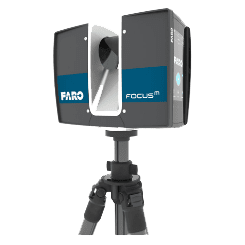
FARO Focus S350 Kit Type: Point Cloud Accuracy: 1-4 mm

​FARO Focus S350 Kit Type: Point Cloud Accuracy: 1-4 mm ​ This scanner is the same scanner design as the Faro S150, with an increased range of up to 350 meters. It is suitable for capturing anything from an office to a football stadium to an office space in 3D and enables fast captures with straightforward and accurate measurements. The Faro S350 scanner is certified through the Ingress Protection (IP) rating and classified in Class 54 for environmental protection. It features a sealed design and is built to safeguard against environmental intrusions, such as rain, dust, fog, and dirt. It performs well in challenging outdoor conditions and also offers a future-proof interface that connects to additional accessories.

Check Availability

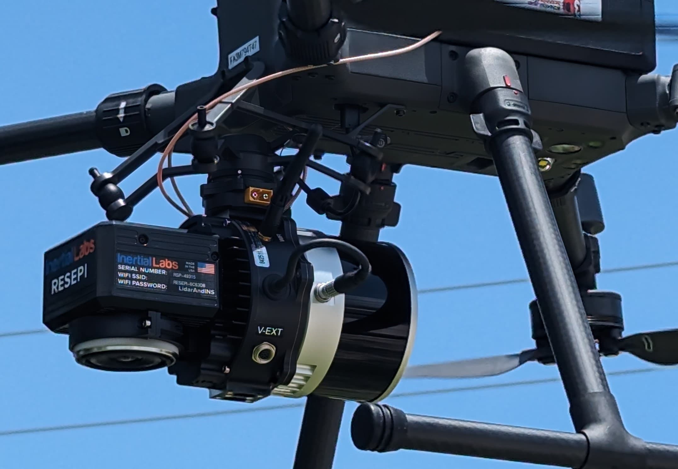
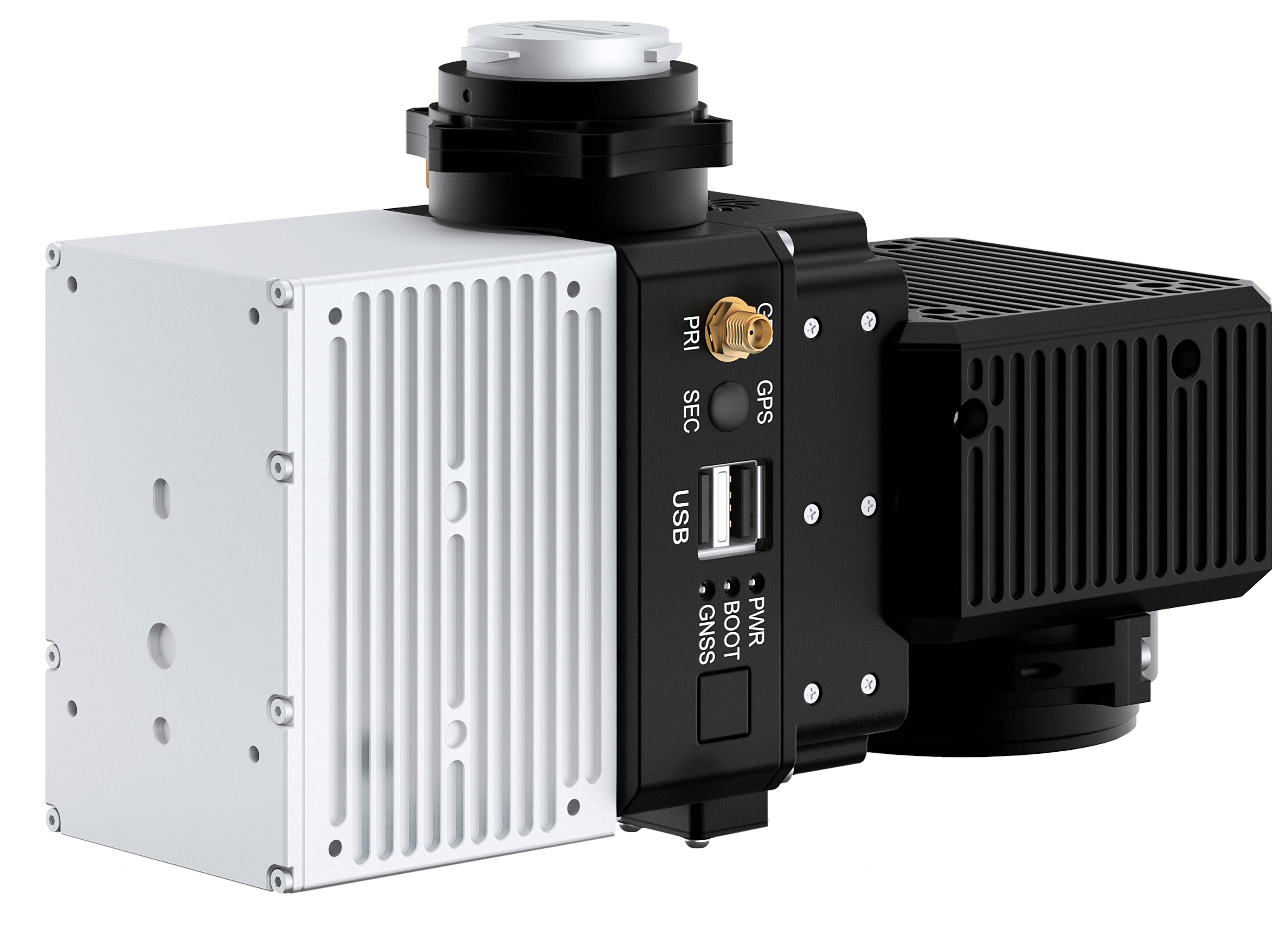
Hesai RESEPI XT32 Drone Lidar from Inertial Labs

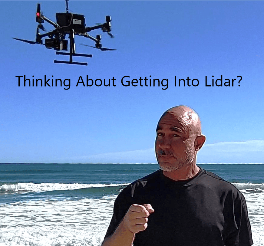
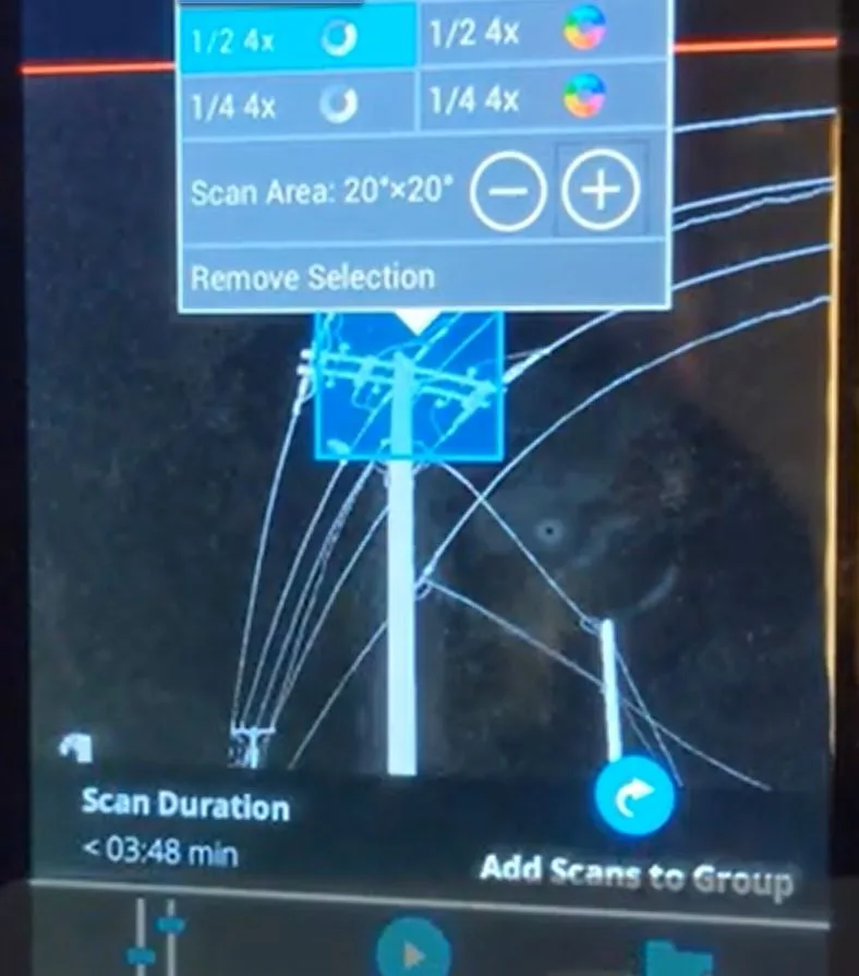
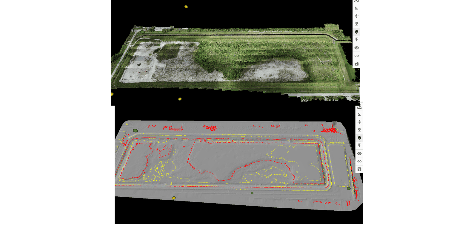
All New! Purchase New Rent or RENT TO OWN! RESEPI XT32 Lidar System! System Vertical Accuracy ±3cm Recommended AGL 50-100m Weight 1.7kg (with camera) 1.3kg (without camera) Dimensions 20.8x17x14.2 (cm) Max Flight Time (DJI M300) 33 Minutes External Storage 256GB USB Included File types: CAD File Imaging, Contour Files (DXF/SHP) and GeoTIFF Files from Equipment to almost any Software. Ability to Export Contours with a GeoTIFF File and Import into AutoCAD, AutoDesk, and More. Advantages over Livox (R2A) The Hesai XT32 lidar unit has a wider field of view for the laser scanner lidar portion of the system than a Livox or R2A system. This means that a pilot can collect more data with each pass. More data per pass means fewer passes per acre, therefore more acres per flight.  Make more money per flight with the Hesai XT32 RESEPI Lidar unit. The all new Hesai RESEPI XT32 utilizes a high-performance Inertial Labs INS (GPS-Aided Inertial Navigation System) with a tactical-grade IMU and a high-accuracy dual-antenna GNSS receiver, integrated with a Linux-based processing core and datalogging software. The platform also provides a WiFi interface, optional imaging module and external cellular modem for RTCM corrections. RESEPI can be operated by a single hardware button or from a wirelessly connected device via a simple web interface. Compact and light-weight, the RESEPI XT-32 featuring a Hesai LiDAR scanner, is currently the best-in-class data accuracy, excellent detection range, high point density, and versatility. This unit was designed for multiple application bases. including mounting options for: mobile vehicles, DJI supported drones (DJI M300, M600 Pro), custom drones, and even handheld platforms. Applications include utilities mapping (powerlines), construction volumetrics, site surveying, precision agriculture, forestry, mining operations, and much more.

Check Availability

Rock Robotics R2A (RESEPI Livox Avia) Drone Lidar from Inertial Labs

All New! Rent or Purchase Livox Avia New Rent or RENT TO PURCHASE! The ROCK R2A, or Livox Lidar is a complete Aerial / SLAM 3D Mapping Solution. Integrating the Livox Avia sensor, with a high-accuracy IMU and a 24MP Sony camera. RGB Camera: Sony a5100 - 24 MP Camera Laser Sensor: Livox Avia

Check Availability

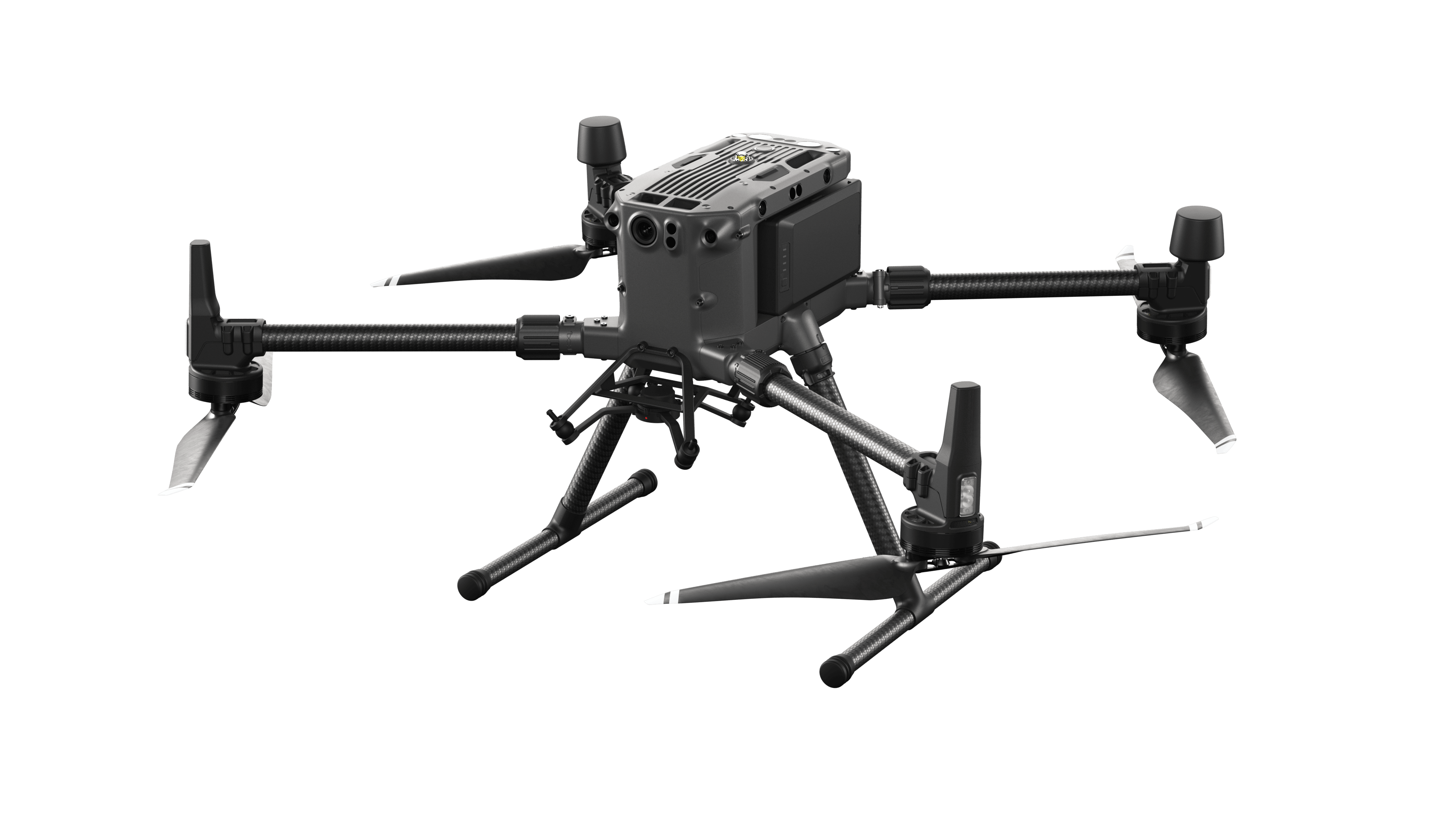
DJI Matrice 300 RTK (M300)

Matrice 300 RTK Included with Rental: MATRICE 300 Intelligent Battery Station, Two M300 Batteries included, (Up to Six More available for Rental) WB37 Battery - (One Battery) * Up to 55 minutes of flight time, advanced * AI capabilities, * 6 Directional Sensing & Positioning, and more! The M300 RTK sets a whole new standard by combining intelligence with high-performance and unrivaled reliability. ​*Drone rentals require the customer to provide a copy of their commercial 107 drone license as well as drivers license. All Drone rentals require rental pilot to provide 107 SUAS license

Check Availability

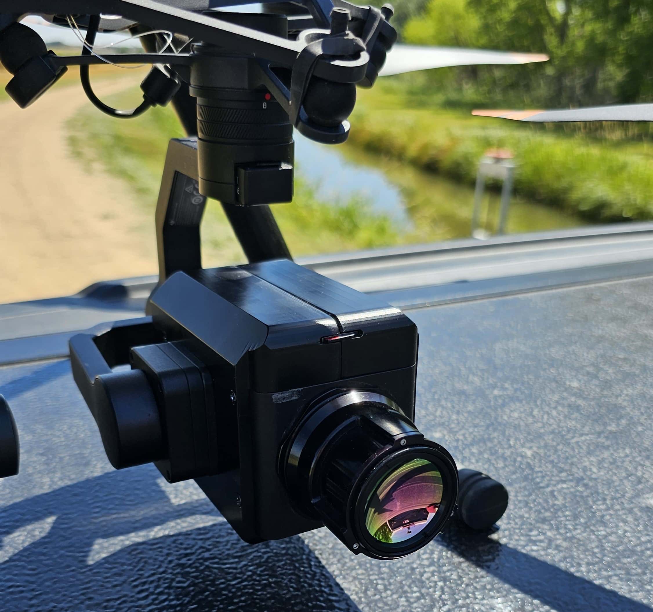
Ventus OGI (Oil & Gas Line Inspections)

Ventus OGI is a 640 x 512 resolution MWIR camera core designed to detect hydrocarbon gases, such as methane and propane. It has a high operating temperature MWIR detector type and a spectral response of MWIR. The camera core has a frame rate of 30 Hz and a NETD of <50 mK. It comes with 2 lens options (25 mm and 50 mm) and has digital zoom/pan capabilities. Ventus OGI has a low SWaP (size, weight, and power) and is an invaluable tool for the oil and gas industry. The gas enhancement mode of the camera colorizes leaks.

Check Availability

Emlid Survey GNSS Ground Control / Rover

Emlid Reach RS2 GNSS (2) Receiver & Ground Includes Hard Case (Carries 2 x RS2 and Accessories) Ground Control / Rover ​For surveying, mapping and navigation. Multi-band RTK GNSS receiver with centimeter precision for surveying, mapping and navigation. Comes with a mobile app. GNSSGPS/QZSS, GLONASS L1, L2; BeiDou B1, B2; Galileo E1, E5 Long range radio LoRa 868/915 MHz, range up to 8 km 16 hours as LTE RTK rover LiFePO4 battery, 6–40V input, USB Type-C charging Wi-Fi and Bluetooth for connection with other devices Package includes– Reach RS2+ – Carrying case with a strap – Radio antenna – USB Type-C cable

Check Availability

Lidar Survey Accessories Kit

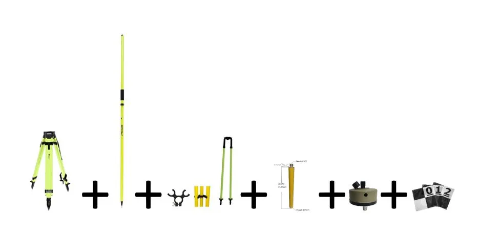
Survey Accessory Kit ​Availability Here Adir Pro High Visibility Universal Survey Tripod , Adir Pro 2m Two-Piece GPS Rover Rod, Survey Pole Bipod with Thumb Release, Tripod Pole​, Tribrach Adaptor, 10 UAV/Drone Ground Control Points

Check Availability

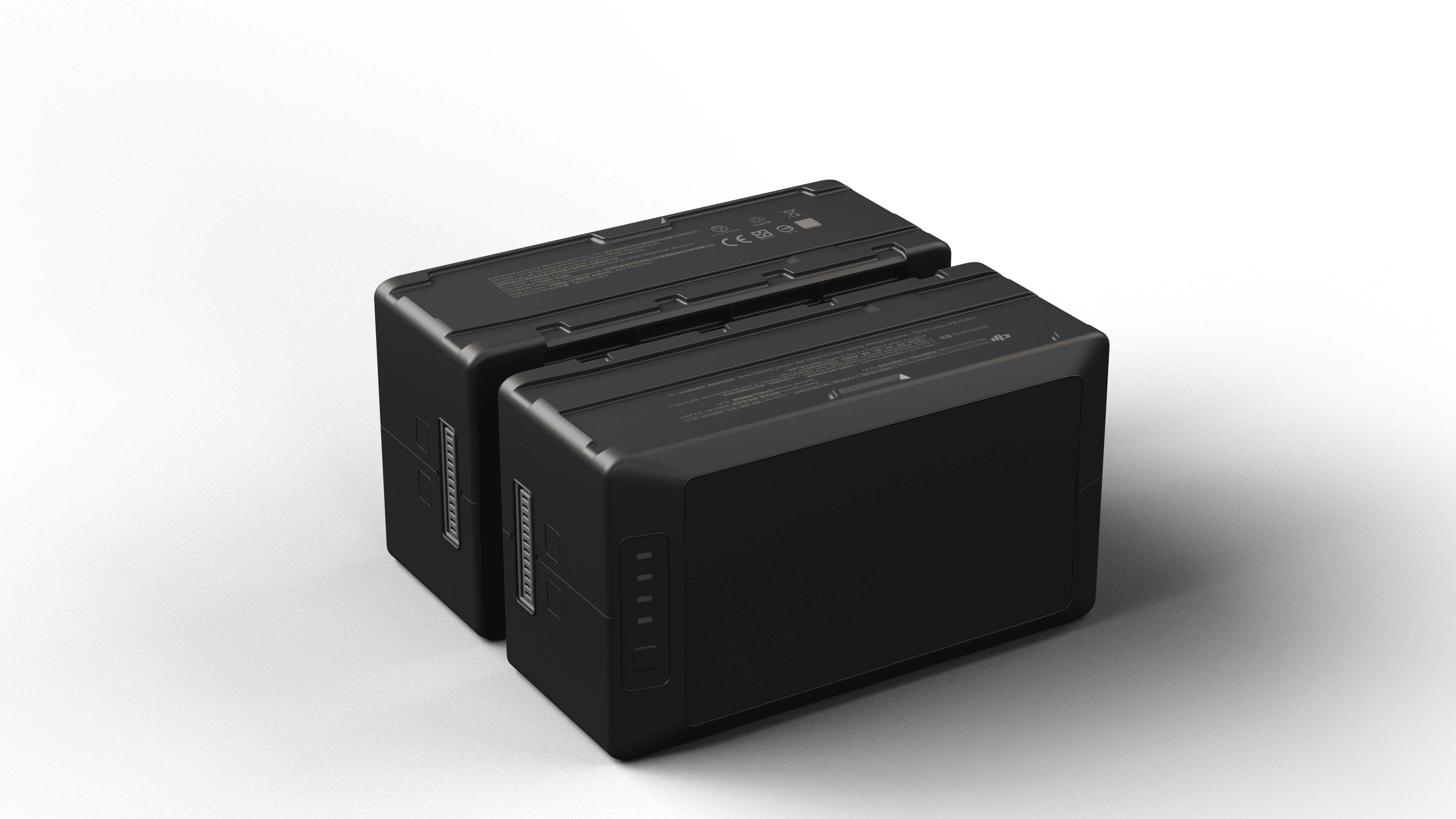
DJI Matrice 300 RTK (M300) Battery Rental

Matrice 300 RTK Battery Matrice 300 RTK Battery, Limit 6 per Rental

Check Availability

About Atlantic Laser Scanning

Established in 2012 as a 3D scanning service company offering Multiple types of laser scanning products to our rental customers. From FARO 3D scanners, to Drone Mounted XT32 Lidar and camera systems, as well as Metrology Grade Creaform Handyscans. ALSS is a trusted provider of 3D laser scanner rental services.

We offer both metrology-grade and long-range laser/lidar scanning as well as hundreds of online training videos and consulting services. Whether you’re working with your own equipment or something rented from us, we’re always available to answer questions and provide support. At ALSS, our goal is to help you be successful.

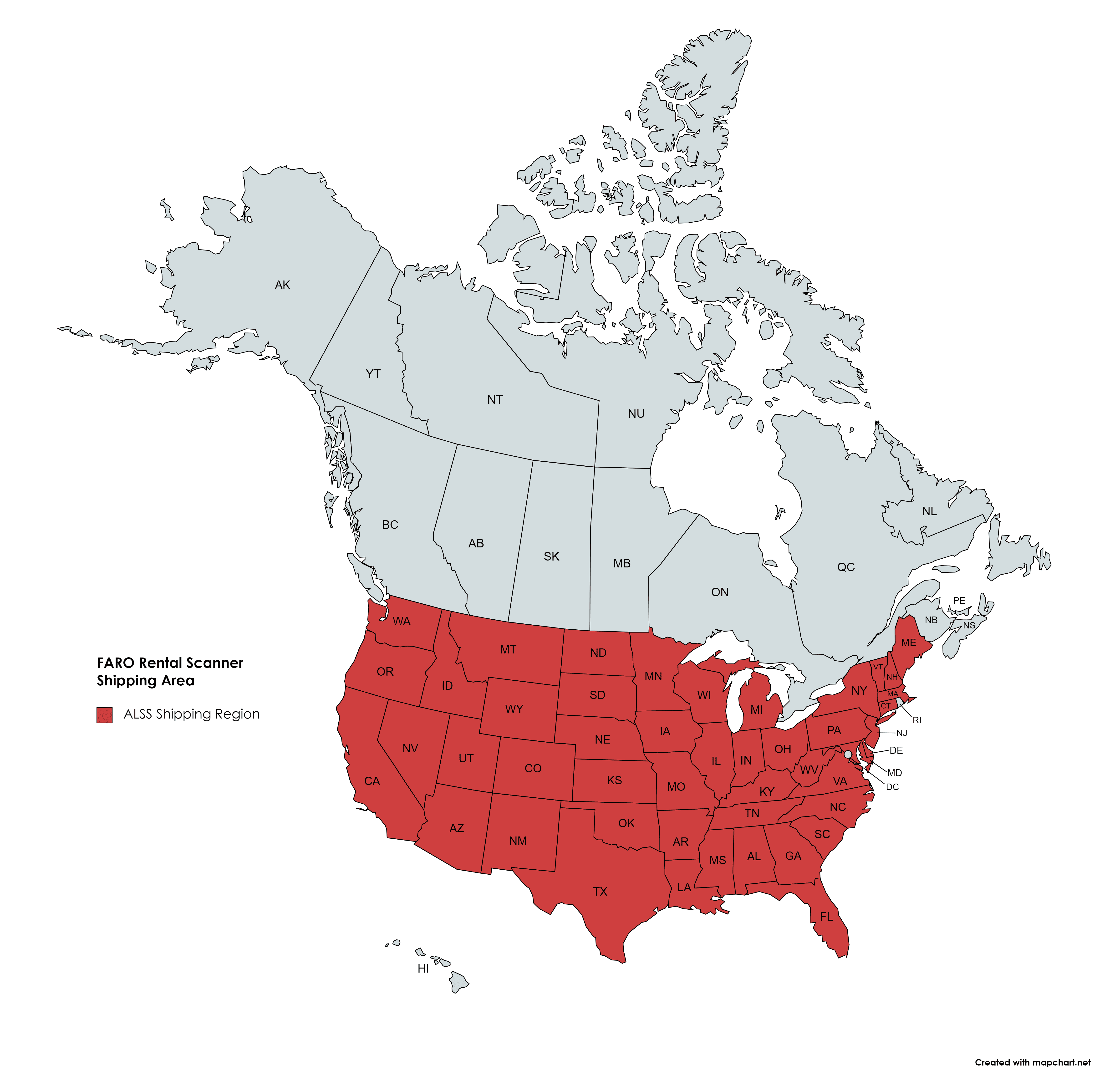
ALSS CAN DELIVERY YOUR SCANNER ANYWHERE IN THE CONTINENTAL US IN AN OVERNIGHT DELIVERY.

Learn More

Industries Served

At ALSS, the 3D laser, Lidar and handsycan scanners we offer represent the very best in 3D scanning technology. Our products meet the needs of diverse and demanding industries, including:

Architecture & Bim

ARCHITECTURE & BIM

Drone Survey

DRONE SURVEY

Drone Mapping

DRONE MAPPING

Lidar Slam Scanning

LIDAR SLAM SCANNING

Terrestrial Scanning For Bim

TERRESTRIAL SCANNING FOR BIM

Accident Recon 3d Scanning

ACCIDENT RECON 3D SCANNING

Inertial Labs Drone Lidar Scanners (RESEPI)

Survey drone LiDAR units offer numerous advantages over standard survey techniques. They enable rapid data collection, provide high-resolution 3D data, access remote or hazardous areas, improve data quality, support multi-sensor integration, save costs and time, and offer versatility for various industries. Incorporating LiDAR technology into surveying workflows can enhance accuracy, efficiency, and overall project outcomes. With cm accuracy and ultra fast collection times, drone lidar is surely the survey tool of the future. (Hesai, Livox, Velodyne, Ouster, Teledyne)

FARO Tripod Terrestrial Scanners

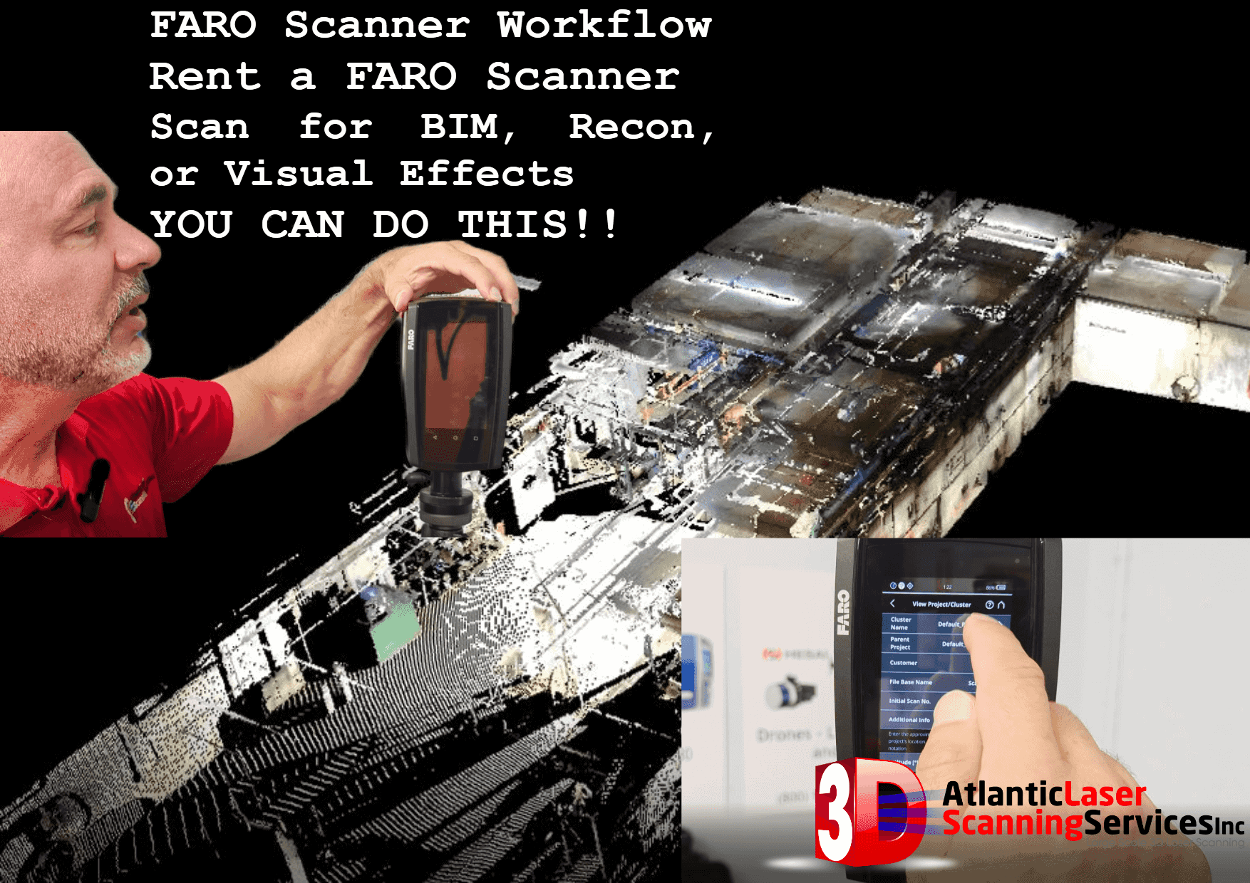
Stationary 3D Scanners and Drone lidar units are used in a nearly endless range of applications. Our Drone Lidar Scanners are used to create BIM models, large construction projects, auto accidents, industrial accidents or natural disasters. FARO Focus units have been used by law enforcement for both forensics and traffic homicide for years.

FARO scanners are also used for more creative purposes, such as movie and TV visual effects, virtual reality and video game production.

 

3D Laser Scanning Services by Atlantic Laser Scanning Services

Atlantic Laser Scanning Services offers some of the most advanced 3D scanning equipment on the market, as well as informative free training videos to help you scan successfully. If you’re new to 3D scanning or want your company to take advantage of this technology without having to hire a pre-trained expert, we can help you learn everything you need to know.

To check the availability of 3D scanner rentals, contact us by sending an email to info@atlanticlaserscanning.com. You can also view our collection of free training videos on our YouTube page.

Availability Request Form

Call (800) 955-3960 or Email us at info@atlanticlaserscanning.com for more information about our rental pricing and equipment availability.


**The equipment available for rental from Atlantic Laser Scanning Services Inc. is only available to commercial businesses, and is not for personal use. **

This field is for validation purposes and should be left unchanged.