EQUIPMENT RENTALS BELOW
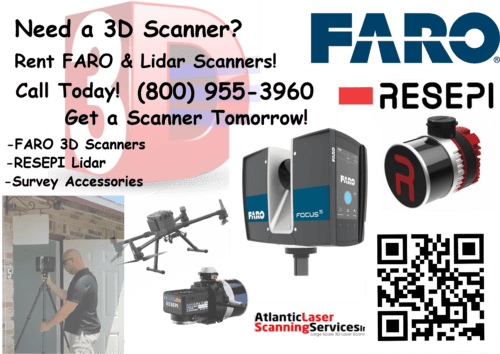
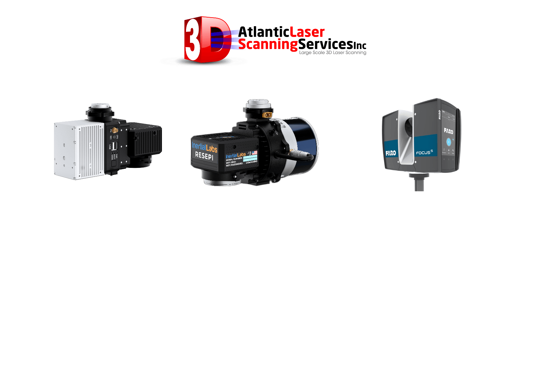
Atlantic Laser Scanning Services offers a comprehensive range of Terrestrial Scanners from FARO Technology (BIM Scanners), RESEPI Lidar products from Inertial Labs, GNSS Equipment and Survey Accessories as well as as well as Ventus OGI (Oil and Gas Inspection) Cameras. A full list of our rental equipment includes:
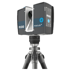
FARO Focus S150 Kit
Type: Point Cloud
Accuracy: 1-4 mm
The FocusS Laser Scanner series provides advanced functionality, including increased distance, range, and angular accuracy. The Focus Plus scanner's on-site compensation function ensures high-quality measurements, and its HDR functionality and external accessory bays make it a highly flexible product. The S150 features a range of 150 meters, with an accuracy of 1-4 mm and a scan time of 3-7 minutes.
Check Availability
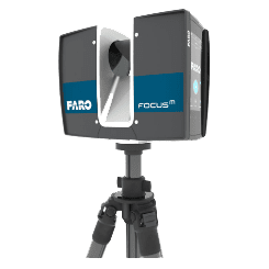
FARO Focus S350 Kit Type: Point Cloud Accuracy: 1-4 mm
FARO Focus S350 Kit
Type: Point Cloud
Accuracy: 1-4 mm
This scanner is the same scanner design as the Faro S150, with an increased range of up to 350 meters. It is suitable for capturing anything from an office to a football stadium to an office space in 3D and enables fast captures with straightforward and accurate measurements.
The Faro S350 scanner is certified through the Ingress Protection (IP) rating and classified in Class 54 for environmental protection. It features a sealed design and is built to safeguard against environmental intrusions, such as rain, dust, fog, and dirt. It performs well in challenging outdoor conditions and also offers a future-proof interface that connects to additional accessories.
Check Availability
All New!
Purchase New
Rent
or
RENT TO OWN!
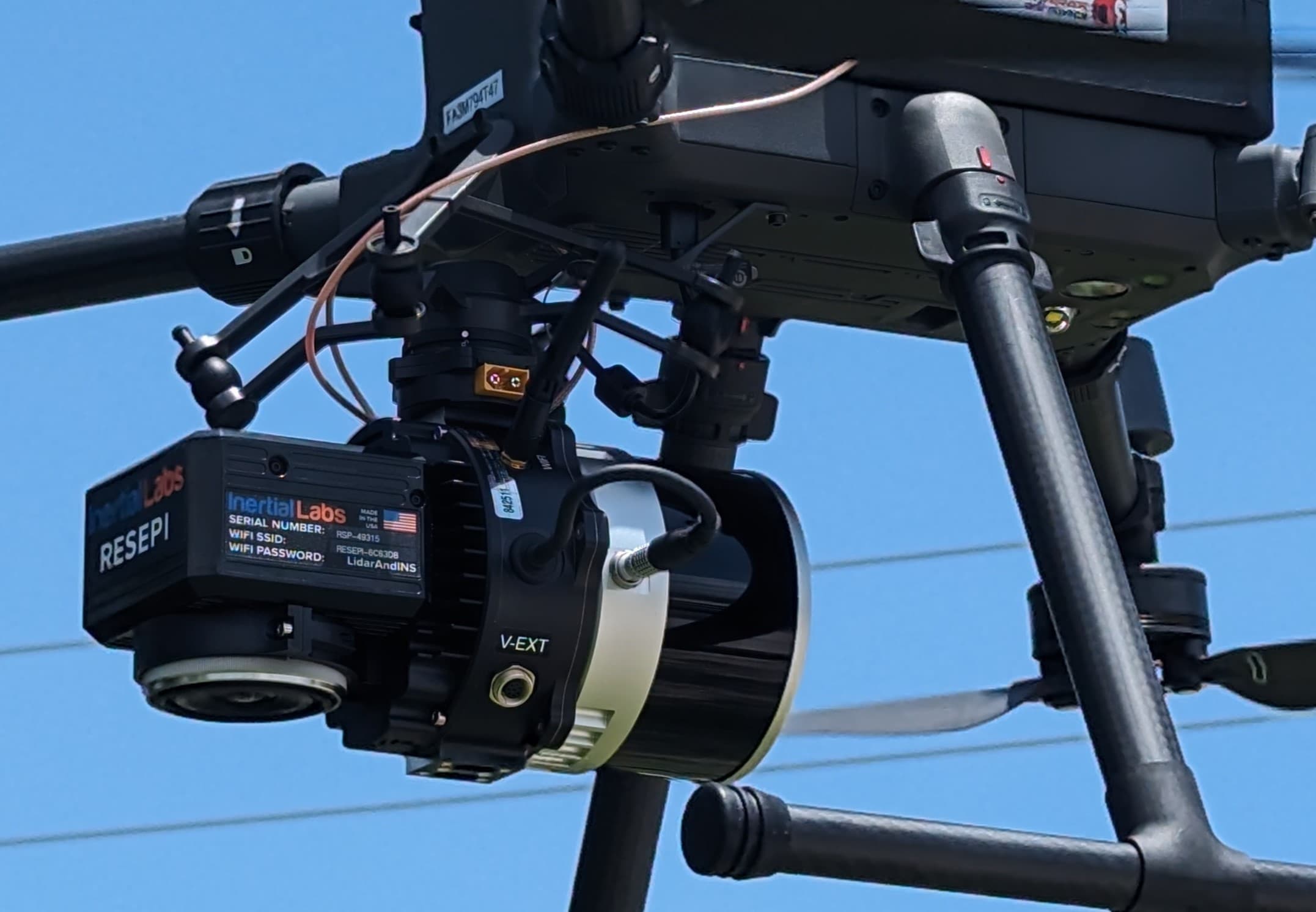
RESEPI XT32 Lidar System!
System Vertical Accuracy ±3cm
Recommended AGL 50-100m
Weight 1.7kg (with
camera)
1.3kg (without
camera)
Dimensions 20.8x17x14.2 (cm)
Max Flight Time (DJI M300) 33 Minutes
External Storage 256GB USB
Included
File types:
CAD File Imaging, Contour Files (DXF/SHP) and GeoTIFF Files from Equipment to almost any Software.
Ability to Export Contours with a GeoTIFF File and Import into AutoCAD, AutoDesk, and More.
Advantages over Livox (R2A) The Hesai XT32 lidar unit has a wider field of view for the laser scanner lidar portion of the system than a Livox or R2A system. This means that a pilot can collect more data with each pass. More data per pass means fewer passes per acre, therefore more acres per flight. Make more money per flight with the Hesai XT32 RESEPI Lidar unit.
The all new Hesai RESEPI XT32 utilizes a high-performance Inertial Labs INS (GPS-Aided
Inertial Navigation System) with a tactical-grade IMU and a high-accu�racy dual-antenna GNSS receiver, integrated with a Linux-based
processing core and datalogging software. The platform also provides a
WiFi interface, optional imaging module and external cellular modem
for RTCM corrections. RESEPI can be operated by a single hardware
button or from a wirelessly connected device via a simple web interface.
Compact and light-weight, the RESEPI XT-32 featuring a Hesai LiDAR
scanner, is currently the best-in-class data accuracy, excellent detection range, high point
density, and versatility.
This unit was designed for multiple application
bases. including mounting options for: mobile vehicles, DJI
supported drones (DJI M300, M600 Pro), custom drones, and even handheld
platforms.
Applications include utilities mapping (powerlines), construction
volumetrics, site surveying, precision agriculture, forestry, mining
operations, and much more.
Check Availability
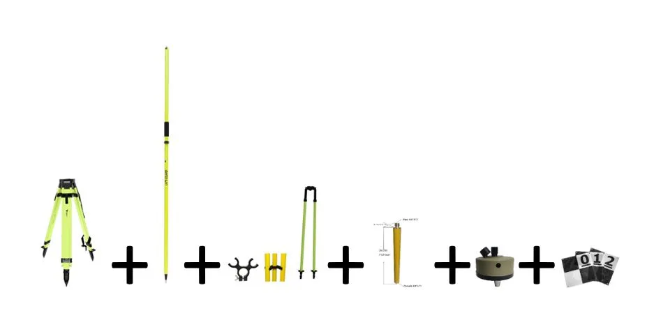
Survey Accessory Kit
Availability Here
Adir Pro High Visibility Universal Survey Tripod ,
Adir Pro 2m Two-Piece GPS Rover Rod,
Survey Pole Bipod with Thumb Release,
Tripod Pole,
Tribrach Adaptor,
10 UAV/Drone Ground Control Points
Check Availability
EQUIPMENT RENTALS BELOW
Atlantic Laser Scanning Services offers a comprehensive range of Terrestrial Scanners from FARO Technology (BIM Scanners), and RESEPI Lidar products from Inertial Labs. A full list of our rental equipment includes:
FARO Focus S150 Kit
Type: Point Cloud
Accuracy: 1-4 mm
The FocusS Laser Scanner series provides advanced functionality, including increased distance, range, and angular accuracy. The Focus Plus scanner's on-site compensation function ensures high-quality measurements, and its HDR functionality and external accessory bays make it a highly flexible product. The S150 features a range of 150 meters, with an accuracy of 1-4 mm and a scan time of 3-7 minutes.
Check Availability
FARO Focus S350 Kit Type: Point Cloud Accuracy: 1-4 mm
FARO Focus S350 Kit
Type: Point Cloud
Accuracy: 1-4 mm
This scanner is the same scanner design as the Faro S150, with an increased range of up to 350 meters. It is suitable for capturing anything from an office to a football stadium to an office space in 3D and enables fast captures with straightforward and accurate measurements.
The Faro S350 scanner is certified through the Ingress Protection (IP) rating and classified in Class 54 for environmental protection. It features a sealed design and is built to safeguard against environmental intrusions, such as rain, dust, fog, and dirt. It performs well in challenging outdoor conditions and also offers a future-proof interface that connects to additional accessories.
Check Availability
All New!
Purchase New
Rent
or
RENT TO OWN!
RESEPI XT32 Lidar System!
System Vertical Accuracy ±3cm
Recommended AGL 50-100m
Weight 1.7kg (with
camera)
1.3kg (without
camera)
Dimensions 20.8x17x14.2 (cm)
Max Flight Time (DJI M300) 33 Minutes
External Storage 256GB USB
Included
File types:
CAD File Imaging, Contour Files (DXF/SHP) and GeoTIFF Files from Equipment to almost any Software.
Ability to Export Contours with a GeoTIFF File and Import into AutoCAD, AutoDesk, and More.
Advantages over Livox (R2A) The Hesai XT32 lidar unit has a wider field of view for the laser scanner lidar portion of the system than a Livox or R2A system. This means that a pilot can collect more data with each pass. More data per pass means fewer passes per acre, therefore more acres per flight. Make more money per flight with the Hesai XT32 RESEPI Lidar unit.
The all new Hesai RESEPI XT32 utilizes a high-performance Inertial Labs INS (GPS-Aided
Inertial Navigation System) with a tactical-grade IMU and a high-accu�racy dual-antenna GNSS receiver, integrated with a Linux-based
processing core and datalogging software. The platform also provides a
WiFi interface, optional imaging module and external cellular modem
for RTCM corrections. RESEPI can be operated by a single hardware
button or from a wirelessly connected device via a simple web interface.
Compact and light-weight, the RESEPI XT-32 featuring a Hesai LiDAR
scanner, is currently the best-in-class data accuracy, excellent detection range, high point
density, and versatility.
This unit was designed for multiple application
bases. including mounting options for: mobile vehicles, DJI
supported drones (DJI M300, M600 Pro), custom drones, and even handheld
platforms.
Applications include utilities mapping (powerlines), construction
volumetrics, site surveying, precision agriculture, forestry, mining
operations, and much more.
Check Availability